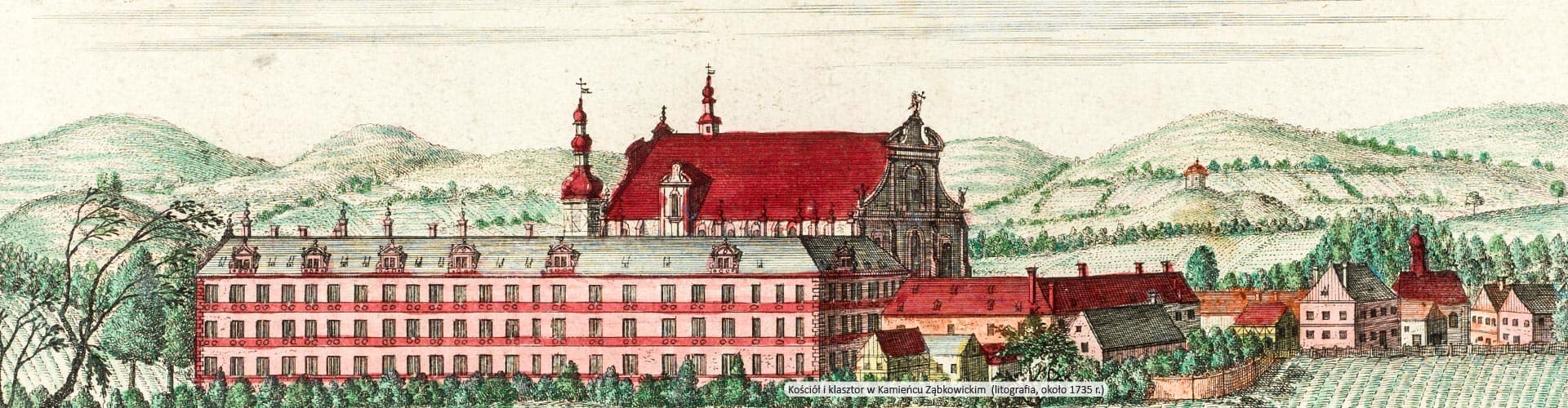
- Panorama Opola i mapa księstwa opolskiego
Object's details: Panorama Opola i mapa księstwa opolskiego
PDF
Description
- Title:
- Wariant tytułu:
- Creator:
- Contributor:
- Subject and Keywords: ; ; ; ; ; ;
- Subject Headings:
- Description:
- Place of publishing:
- Date:
- Resource Type: ;
- Format:
- Resource Identifier: oai:www.sbc.org.pl:260991
- Source:
- Language:
- Oryginal in:
- Digitization:
- Published by:
- Rights:
Object is located in the collections:
Additional information
- Creation date: 2017-02-09
- Last modification date: 2024-06-18
- Content object's number of views: 299
- You could also download the object's description in these formats: ;
- Historical Text Recognition:
See also
Professor W. Liebenow's Wander-, Rad- und Automobilkarte des Oberschlesischen Industriegebietes, umfassend den Regierungsbezirk Oppeln
Creator:Liebenow, Wilhelm (1822-1897)
Date:ok. 1913
Type:mapa
Contributor:Kraus, A. Wyd.
Oppeln. Oderpartie mit Blick auf die Stadt
Date:ok. 1915
Type:pocztówka
Oppeln
Date:ok. 1939
Type:pocztówka
Oppeln
Date:ok. 1915
Type:pocztówka
Oppeln
Date:ok. 1915
Type:pocztówka
Panorama Wołowa i mapa księstwa wołowskiego
Creator:Werner, Friedrich Bernhard (1690-1778)
Date:1741
Type:mapa; grafika
Contributor:Schleuen, Johann David. Ryt.
Panorama Raciborza i mapa księstwa raciborskiego
Creator:Werner, Friedrich Bernhard (1690-1778)
Date:1741
Type:mapa; grafika
Contributor:Schleuen, Johann David. Ryt.
Oppeln
Date:ok. 1915
Type:pocztówka